
Preventive monitoring
Identification of areas at risk before a landslide occurs.
Post-event evaluation
Analysis of ground conditions after a landslide to assess the risk of new collapse.
3D mapping and modeling
Creation of heat maps and digital terrain models for in-depth geological analysis.
Civil defense support
Provide useful data for emergency management.

AVACAM
Operation of Thermal Chambers on Drone
Thermal chambers detect infrared radiation emitted by objects and transform this information into thermal images. This makes it possible to detect:
Areas of instability
in the soil, showing temperature differences related to water infiltration or soil movement.
Presence of groundwater
Which can increase the risk of landslides
Structural abnormalities
in the ground, which are difficult to see with an ordinary optical camera.
AVACAM
Advantages of Using Thermal Camera Drones
Drones equipped with thermal cameras offer many advantages, including the ability to detect temperature anomalies in real time. This makes them ideal for monitoring infrastructure, detecting leaks or fires, and analyzing the environment quickly and accurately. Because of their ability to fly into hard-to-reach areas, thermal chambered drones increase the efficiency of inspections, reducing costs and risks to people.
Rapidity
Quick inspection of large, hard-to-reach areas.
Security
Avoids risk to human operators in hazardous areas.
Accuracy
Provides detailed data on thermal variations and water infiltration.
Continuous monitoring
Ability to conduct periodic checks for changes over time.
AVACAM
Drone Models and Thermal Sensors Used
Drones and thermal sensors are widely used in various industries, such as inspection, surveillance, precision agriculture, and emergency management. Some commonly used drone and thermal sensor models are described below:
DJI Matrix 300 RTK
The DJI Matrice 300 RTK is a high-precision professional drone designed for industrial applications. With a range of up to 55 minutes, it supports payloads of up to 2.7 kg and offers advanced precision thanks to the RTK system. Weatherproof and ideal for inspection, mapping and monitoring in harsh environments.
DJI MATRIX 210
The DJI Matrice 210 is a professional drone designed for industrial and inspection applications. It supports various payloads, such as high-resolution cameras and thermal sensors, and features a rugged, weather-resistant design (IP43 certification). With a flight time of up to 38 minutes, it is ideal for inspection, monitoring and mapping operations in complex environments.
DJI NSPIRE 2 WITH LIGHT SYSTEM
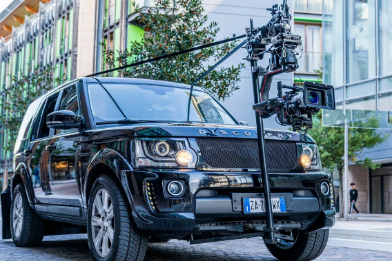
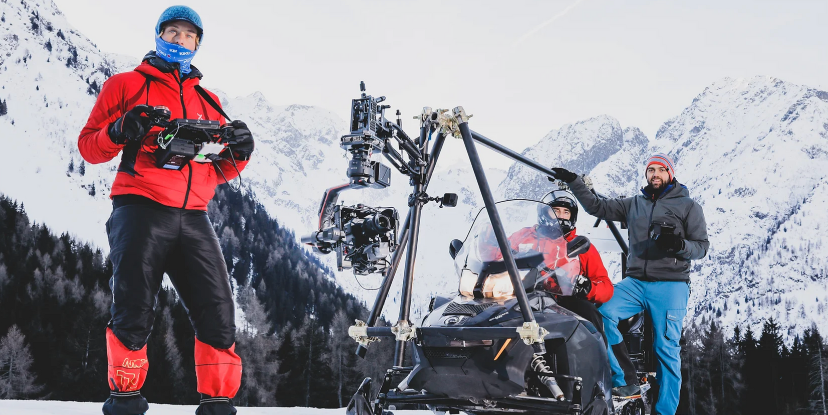
The DJI Inspire 2 is a professional drone designed for cinematography and advanced aerial filming. Equipped with a high-definition camera system (such as the Zenmuse X5S or X7), it offers exceptional video quality, supporting resolutions up to 5.2K in CinemaDNG and ProRes. Its speed, stability, and flight capabilities make it ideal for movies, TV productions, and other professional applications.
AVACAM
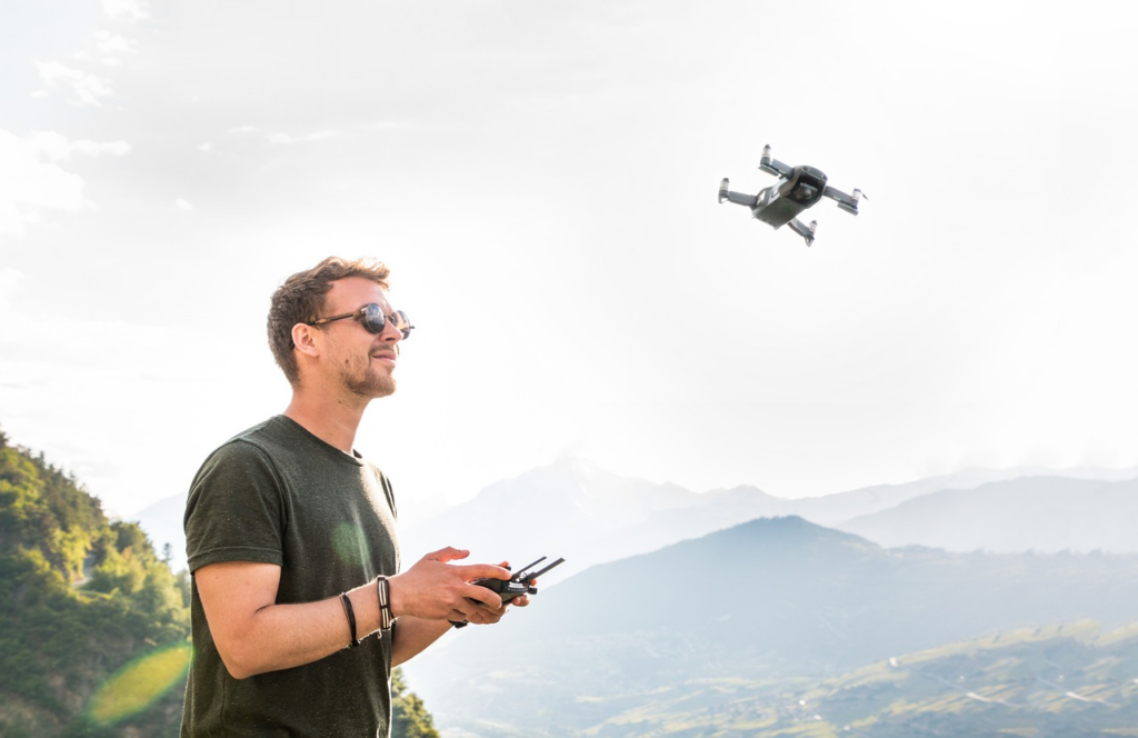
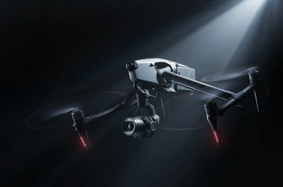
AVACAM DRONE SERVICE
Avacam offers professional drone services for aerial filming, inspection and monitoring. With advanced technology, we ensure accuracy and reliability in every project, from industries to security.
safety from afar
Avacam offers aerial security solutions with drones, ideal for monitoring vast and difficult-to-reach areas. Thanks to the advanced technology of our drones, we ensure continuous surveillance and rapid interventions, maintaining constant control from a distance in a safe and effective manner.
pre-installation inspection of cameras
Avacam offers a pre-installation survey for the optimal design of security cameras. Our drones perform precise aerial monitoring, analyzing the area to ensure ideal coverage and a strategic camera placement, guaranteeing the highest level of security.
specialized team for installation
Avacam’s specialized team is highly qualified for installation at high altitudes, on steep cliffs, or in difficult environments such as ski areas. We effectively handle contact with authorities and take care of permit management, ensuring a safe and compliant installation with regulations.
AVACAM
Analysis Techniques
The analysis techniques used in drones and thermal sensors allow data to be collected, processed, and interpreted effectively. Here is a brief description of the main techniques:
Thermal Analysis
It uses thermal imaging to detect temperature changes in environments and structures. It is useful for identifying heat loss, fires, electrical malfunctions, and defects in industrial facilities.
Multispectral Analysis
Employed primarily in agriculture, this technique analyzes various spectra of light (visible and infrared) to monitor crop health, soil moisture and other agronomic conditions.
Mapping and Surveying Analysis
It uses data from LIDAR sensors or photogrammetry to create precise 3D maps of the terrain, useful for land monitoring, natural resource management and construction.
Structural Inspection
It consists of analyzing the condition of infrastructure such as bridges, towers, and industrial facilities through high-resolution, thermal, and aerial imagery to identify damage or problem areas.