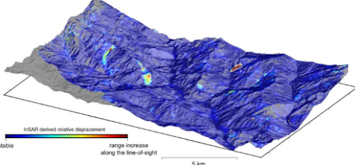
Landslide monitoring is a fundamental technique for hydrogeological risk management, used to prevent and reduce damage caused by landslides.
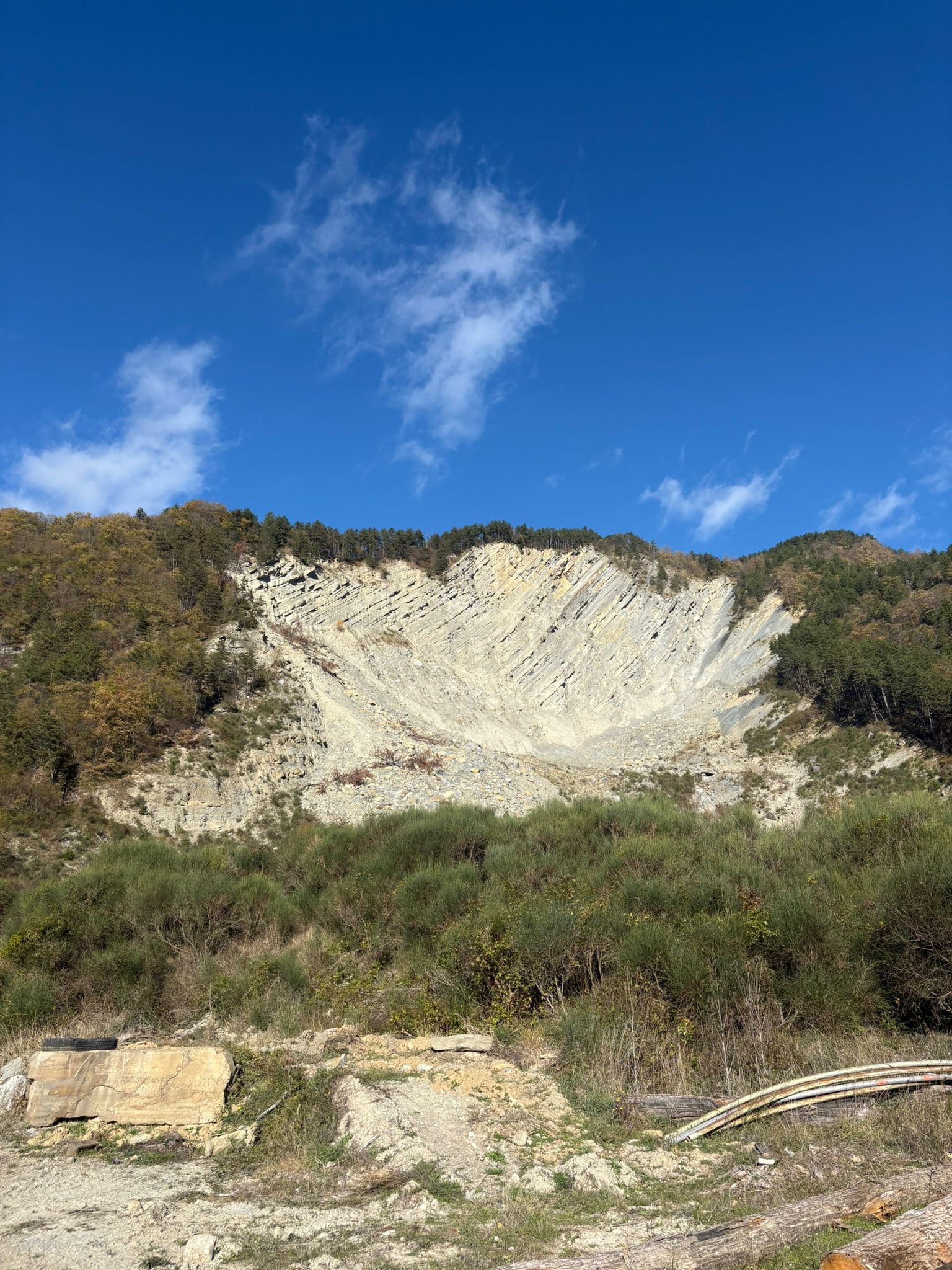
Landslides are natural phenomena that occur when the ground suddenly shifts due to factors such as water, tectonic movement, or loss of stability. This can cause extensive damage to buildings and infrastructure and, above all, endanger human life.
Landslide monitoring is based on a combination of advanced technologies that allow real-time detection of signs of ground instability. The devices used, such as those developed by Avacam, employ tilt, thermal, and visual sensors to collect accurate and detailed data. This data is then analyzed using AI (artificial intelligence) software that identifies anomalies in ground movement, allowing imminent landslide events to be predicted.
This data is collected in real time using devices that continuously monitor the area, and analysis of the results allows the necessary actions to be taken promptly to reduce risk, such as evacuating areas at risk or reinforcing infrastructure.
Avacam monitoring systems are designed to operate autonomously using solar panels and batteries, allowing monitoring in remote areas without the need for an external power supply. This makes the solution particularly useful in mountainous or hard-to-reach areas.